~8 miles @ ~11.7 min/mi

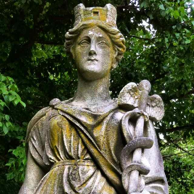
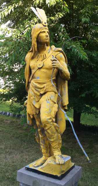
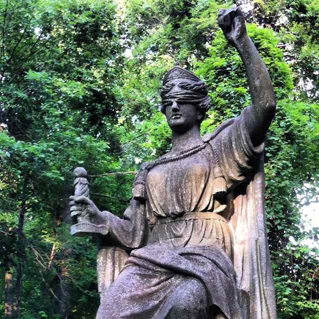
"Is it OK if I take photos of the old statues?" I naïvely ask the policeman who has driven up to inspect my activities at the National Park Seminary this afternoon. I wave my iPhone camera at him and show him my water bottle. The opportunity to answer "Yes" gets the conversation started off on the right foot.

"Sure," he says, "and there are some more in the garden down the hill." I thank him and don't mention that I've been exploring the woods down there for the past couple of decades. He drives away and I proceed to take more pictures, trot along the stream, crawl under a fallen tree that's almost blocking the stairway, and climb back up to the open lawn. Then it's the usual path up Rock Creek Trail to the Kensington Pkwy followed by an unusual exploration of neighborhood streets. The Runens iPhone GPS app helps me navigate. I cut through a gap between streets and deliberately run a loop (Park View Rd and Levelle Dr) to make the Garmin GPS trackfile look sillier, with a bonus of hillwork and a classic scarlet Pontiac GTO along the way.

Then down Rock Creek to the meadow where I pause to photograph the spring that George Washington supposedly drank from, and back home via the Capital Crescent Trail's Georgetown Branch. A cat sits in the middle of Susanna Ln and makes me detour around her. An extra zig at the end makes the distance on both GPS units safely exceed 8.00 miles. Runens iPhone splits are 10:59 + 15:25 + 10:18 + 12:12 + 11:22 + 12:00 + 10:23 + 10:00.
^z - 2012-07-23